Wisconsin Map Template
This template features a map of Wisconsin, ideal for presentations focused on the state's geography, demographics, or regional data.
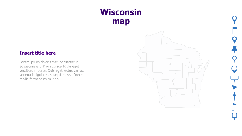
Layout & Structure: The slide is divided into two main sections. The left side contains a text area for a title and supporting content, while the right side prominently displays a grayscale outline map of Wisconsin. The layout is clean and straightforward, allowing for easy integration of information.
Style: The template utilizes a minimalist aesthetic with a light color palette. The map is rendered as a simple outline, providing a neutral backdrop for data visualization or annotations. The overall style is professional and unobtrusive.
Use Cases:
- Presenting regional sales data for Wisconsin.
- Highlighting key cities or counties within the state.
- Illustrating logistical routes or distribution networks.
- Displaying demographic information by region.
- Geographic analysis and reporting.
Key Features:
- Clear and recognizable map of Wisconsin.
- Dedicated space for title and supporting text.
- Minimalist design for easy customization.
- Suitable for a variety of data visualization purposes.
Tags:
Ready to Get Started?
Impress your audience and streamline your workflow with GraphiSlides!
Install Free Add-onNo credit card required for free plan.