Canada Map with Provinces
This template features a map of Canada, highlighting its provinces and territories. It's ideal for presentations focusing on Canadian geography, regional data, or national overviews.
Layout & Structure:
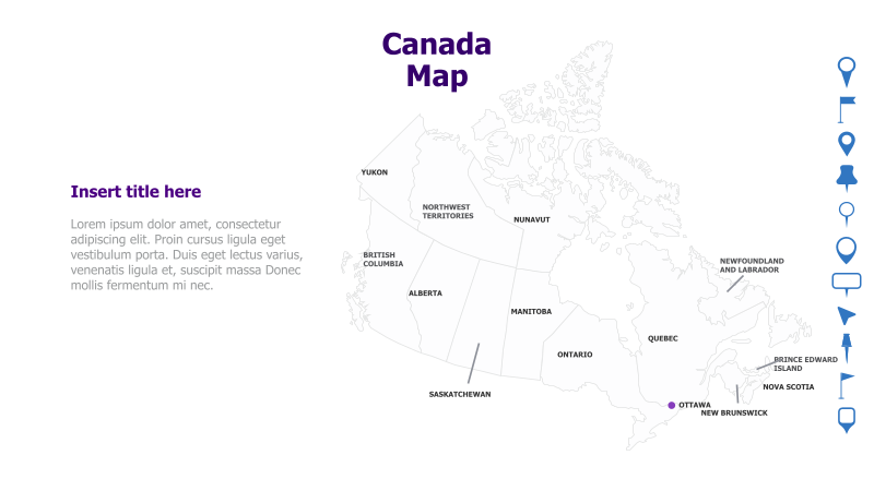
The template displays a detailed map of Canada, with each province and territory clearly labeled. A text box is positioned on the left side for a title and supporting content. The map dominates the right side of the slide.
Style:
The template utilizes a clean, minimalist style with a light color palette. The map is rendered in a simple, line-art style, providing a professional and uncluttered look. The overall aesthetic is informative and visually appealing.
Use Cases:
- Presenting regional sales data for Canada.
- Illustrating the geographical distribution of a company's Canadian operations.
- Educational presentations on Canadian provinces and territories.
- Highlighting tourism destinations across Canada.
- Analyzing demographic data by province.
Key Features:
- Clear and accurate map of Canada.
- Fully editable province and territory labels.
- Space for title and supporting text.
- Clean and professional design.
- Versatile for various Canadian-focused presentations.
Tags:
Ready to Get Started?
Impress your audience and streamline your workflow with GraphiSlides!
Install Free Add-onNo credit card required for free plan.