Missouri Map Template
This template features a map of Missouri, ideal for presentations focused on the state's geography, demographics, or regional data.
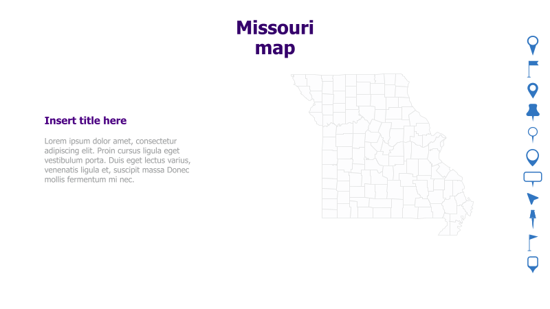
Layout & Structure: The slide is divided into two main sections: a large map of Missouri on the right and a text area on the left. The map is a detailed outline of the state's counties. The text area includes a placeholder title and sample text.
Style: The template utilizes a clean, minimalist style with a light color palette. The map is rendered in a simple line drawing, providing a clear and uncluttered visual. The overall aesthetic is professional and informative.
Use Cases:
- Presenting regional sales data for Missouri.
- Illustrating demographic trends across different counties.
- Highlighting key locations or points of interest within the state.
- Displaying logistical information, such as transportation routes.
- Geographic analysis and reporting.
Key Features:
- Clear and detailed map of Missouri.
- Dedicated space for text and supporting information.
- Clean and professional design.
- Fully customizable elements.
Tags:
missourimapgeographystatecountiesregionaldatapresentationtemplateus map
Ready to Get Started?
Impress your audience and streamline your workflow with GraphiSlides!
Install Free Add-onNo credit card required for free plan.