Indiana Map Template
This template features a map of Indiana, suitable for presentations focused on the state's geography, demographics, or related data.
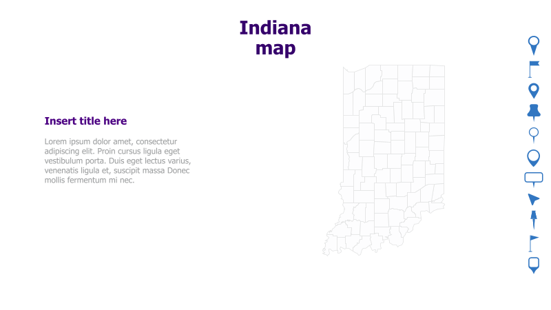
Layout & Structure: The slide is divided into two main sections: a text area on the left and a map of Indiana on the right. The text area includes a placeholder for a title and sample lorem ipsum text. The map is a white outline of the state's counties.
Style: The template has a clean and minimalist aesthetic. The color scheme is primarily white with blue accents for the title and sidebar icons. The map is a simple outline, providing a neutral background for data visualization or annotations.
Use Cases:
- Presenting data related to Indiana counties.
- Illustrating regional analysis within Indiana.
- Geographic presentations focusing on the state.
- Business reports highlighting Indiana-specific information.
- Educational materials about Indiana's geography.
Key Features:
- Clear and concise layout.
- Easy to customize map.
- Professional and clean design.
- Suitable for various data visualizations.
Tags:
Ready to Get Started?
Impress your audience and streamline your workflow with GraphiSlides!
Install Free Add-onNo credit card required for free plan.