Caribbean Islands Map
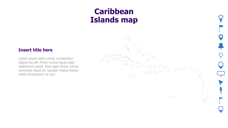
This slide features a map of the Caribbean Islands, suitable for presentations related to geography, travel, or regional data.
Layout & Structure:
- The slide is divided into two main sections: a text area on the left and a map illustration on the right.
- The map depicts the outline of the Caribbean Islands.
- A title area is provided at the top for the slide's main heading.
- A placeholder for text is included on the left side.
Style:
- The slide has a clean and minimalist aesthetic.
- The map is rendered in a simple line drawing style.
- The color scheme is primarily white, with a light gray for the map.
- A vertical blue bar on the right side contains icons.
Use Cases:
- Presenting geographical information about the Caribbean.
- Illustrating travel routes or destinations.
- Displaying regional data or statistics.
- Creating presentations about Caribbean culture or history.
- Visualizing business operations or market presence in the Caribbean.
Key Features:
- Clear and concise map illustration.
- Simple and professional design.
- Easy to customize with text and data.
- Visually appealing and engaging.
Tags:
caribbeanislandsmapgeographytravelregionoutlineminimalistdatapresentation
Ready to Get Started?
Impress your audience and streamline your workflow with GraphiSlides!
Install Free Add-onNo credit card required for free plan.